|
|
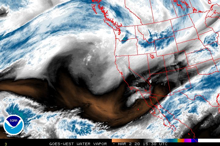


 Above - Click To View The Current GOES Western U.S., Eastern U.S. & Atlantic Water Vapor Loops.


Above: Click The Vaisala NLDN Free Lightning Explorer, &, The NWS & US Forest Service NAPLN Animated Lightning Activity Map.


Above - The (NWS)
Nationwide US NEXRAD Loop & Active Natural Hazard Watch & Warning Maps.


Above - The NHC's 2 Day Eastern Pacific, &, Atlantic, & Gulf Graphical Tropical Weather Outlooks.

Above - Click on the NWS Storm Prediction Center Hourly Activity Loop To Visit SPC.

Above - Click To Visit The Aviation Weather Center's Front Page.

Above - Click the map to visit NWS Center Aviation Weather Service Units Nationwide.


The Climate Prediction Center (CPC)'s Current Days 3 thru 7 & Days 8 thru 14 Hazard Analysis Maps.

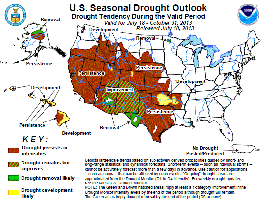
 Above - Click On The Left Map For The (NOAA/USDA) National Drought Monitor.
Click On The Right Map For The Climate Prediction Center (CPC) National Drought Outlook Map.


Above - Click On The Left Map For The (EPA) National Air Quality Analysis.
Click On The Right Map For The Climate Prediction Center (CPC) National UV Alerts Forecast Map.

Above - The NOAA - NWS Daily Hazards Briefing's Surface/Radar & Surface/Satellite Composite Maps.

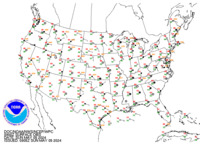
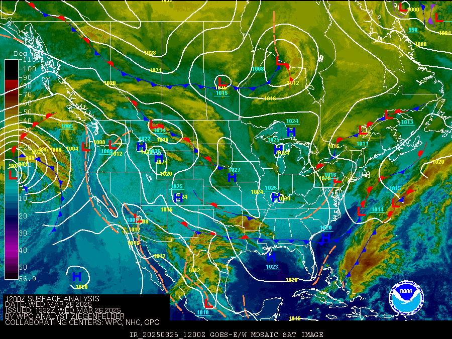
Above - Surface Analysis & Current Surface Obs Charts From The NWS Weather Prediction Center - (WPC).


Above - Click To View The NWS (HPC) Current Analysis, & 12 thru 48 Hour Prog Charts,
Click Here To Read The Latest NWS (WPC) Forecast Discussions.
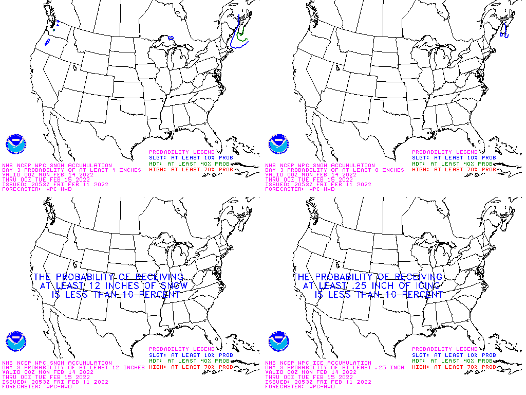
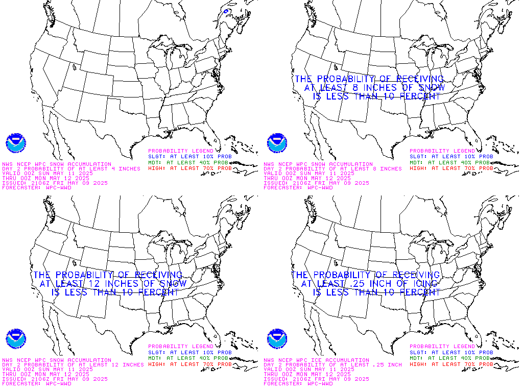
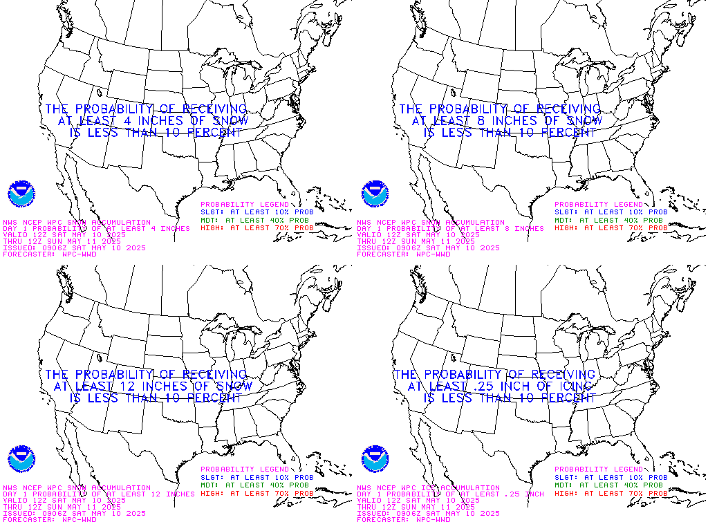


Above - The (WPC)'s 3 Day Winter Precipitation, Rainfall Amounts, and Excessive Rainfall Forecasts.
Click Here To Read The Latest NWS Weather Prediction Center (WPC) Forecast Discussions.


Click The Left Map For The National Operational Hydrologic Remote Sensing Center's Snow Analysis.
Click The Right Map For The Latest The USFS National Avalanche Center Avalanche Weather Update.


Above: The Center For Earthquake Research & Information's Recent EQ's & West Coast & Alaska Tsunami Warning Center's Event Maps.
Click The Text For...(1.) The Arkansas Seismic Network Earthquake Helicorder Display Page, &
(2.) The Latest Earthquake Report From WFO Little Rock.
Above: - In The Box Is A Feed Of All Current World Earthquakes In The Last Hour.
Click The Globe Map Or Underlined Text Inside The Box To Read Each Bulletin. If Feed Is Not Current, Use Text Link, Or, See Maps Above.
Above: - In The Box Is A Feed Of Current Tsunami Watches, Warnings & Advisories.
Click The Underlined Text Inside The Box To Read Each Bulletin. If Feed Is Not Current, Use Text Link, Or, See Maps Above.<

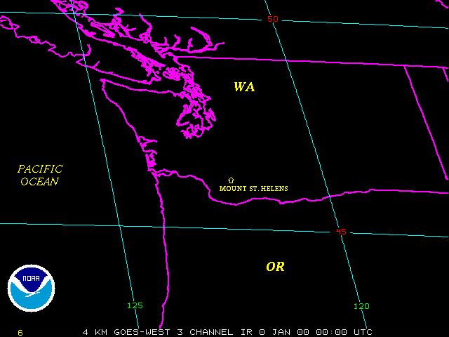
Above - Click On The Current Mt. St. Helens National Volcanic Monument Webcam Image, & The GOES Mt. St Helens Satellite Loop.
Click Here for the latest update from the US Geological Survey's Cascades Volcano Observatory.
Site Disclaimer - This site provides links to other weather information sites and in no way, shape, form, or fashion, attempts to copy any other site's material. These links take the viewer directly to the linked sites. All National Weather Service and other Federal and State Government Linked Sites are in the Public Domain and are not copyright protected. Unless otherwise specified, information on each private or corporate linked site is intended for personal use only. Copyright belongs to the owners of each site, and content is solely their responsibility. This is an absolutely non-commercial, non-profit, free access site. There are absolutely no guarantees, warrantees, endorsements, or other business entanglements of any kind attached to this site. Please do not rely solely upon the internet for critical weather warnings and other emergency information. The internet should be used for basic information and planning purposes only. Instead, use official sources such as
NOAA Weather Radio, The Emergency Alert System on Local TV and Radio Stations, and, The Weather Channel. Not only are these more reliable, they also allow you to receive data in shelter, which is where you belong in severe weather. Also, computers are prone to lightning damage when on-line during a thunderstorm. For your
safety, never use the computer, or the phone during a lightning
storm. Enjoy your visit! Damon C. Poole II, Webmaster. ©2012 weather4ar@yahoo.com.


Damon Poole's Profile | Create Your Badge


|